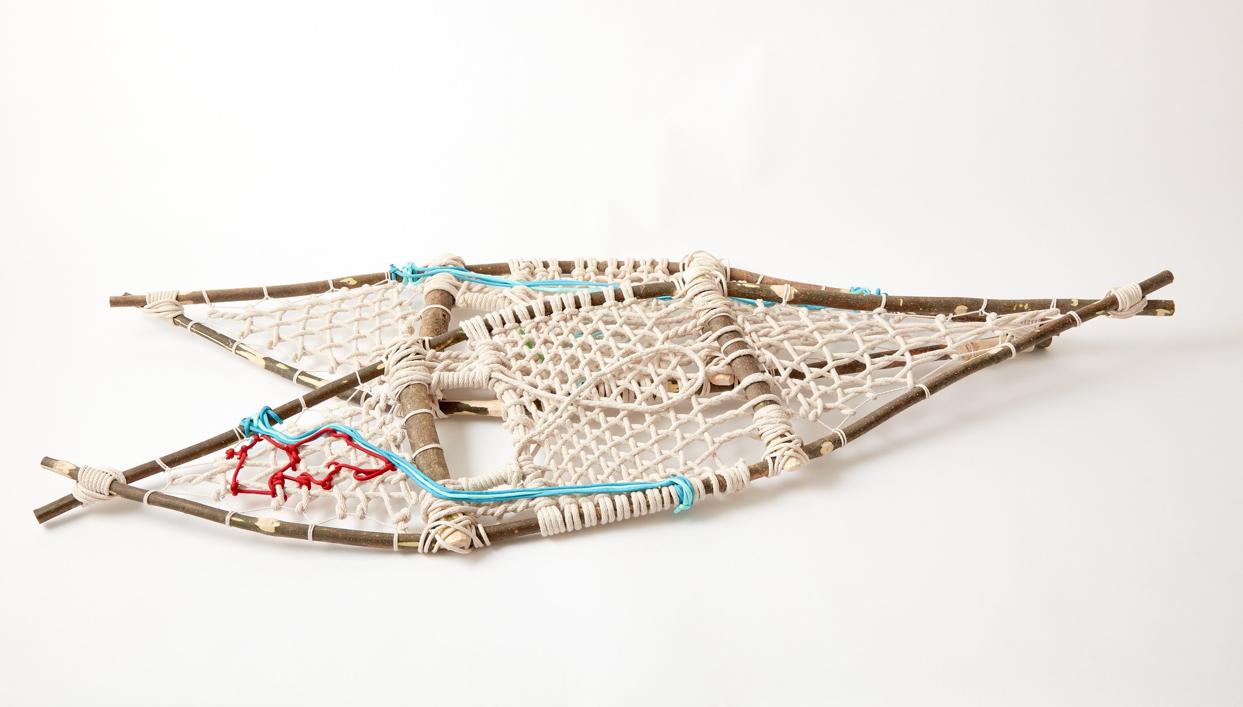
Witness Tree: Ojibwe Snowshoes, 2022
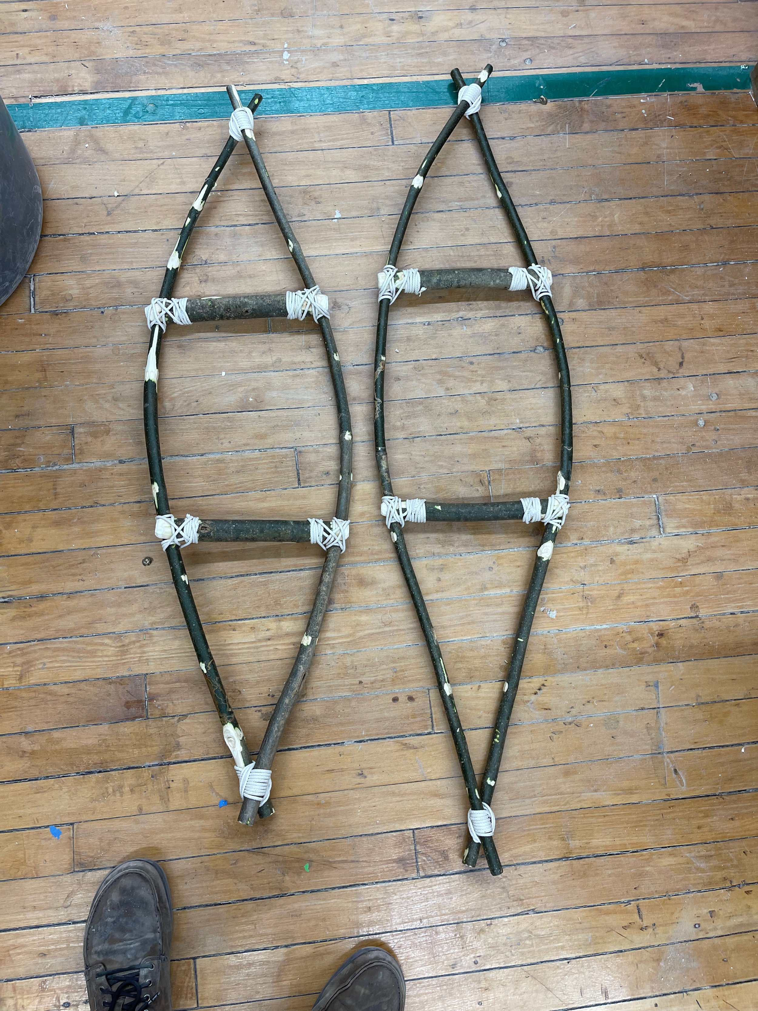
12” Underfoot, 42” Long
Ash saplings, Cotton Cord, and Nylon Paracord
Snowshoes are a technology that was designed and developed by native peoples that crossed the Bering Land bridge into North America from Central Asia around 4000 BC. The snowshoe has been used for thousands of years by Native Peoples allowing for easier movement across landscapes with large snowpacks. The Snowshoe gave the Wabenaki People of the American Northeast a tactical advantage over European colonists during the Anglo-Abenaki Wars between 1675 and 1760. These wars occurred during large-scale changes in atmospheric patterns on earth known as the “Little Ice Age”. During this period temperatures dropped 3.6° Fahrenheit, vastly changing weather patterns, winter temperatures, and snowfall. For Native peoples in northeastern North America, snowshoes made subsistence hunting possible in winter environments. Yearly migrations north (known as wintering), ranging from 40 miles to 300 miles along the banks of the Connecticut River to the “Uplands”, were made in search of moose, smaller game, and fish along with other food sources.
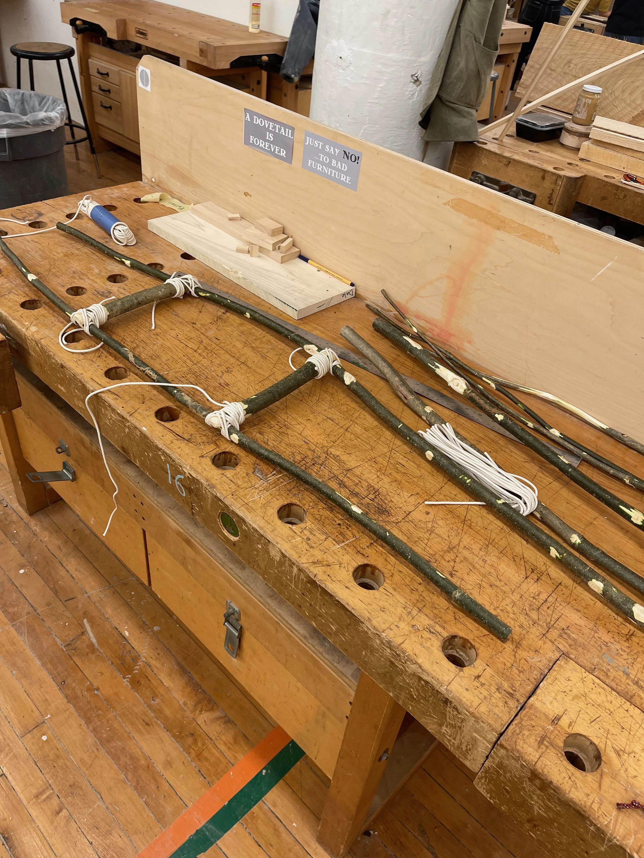
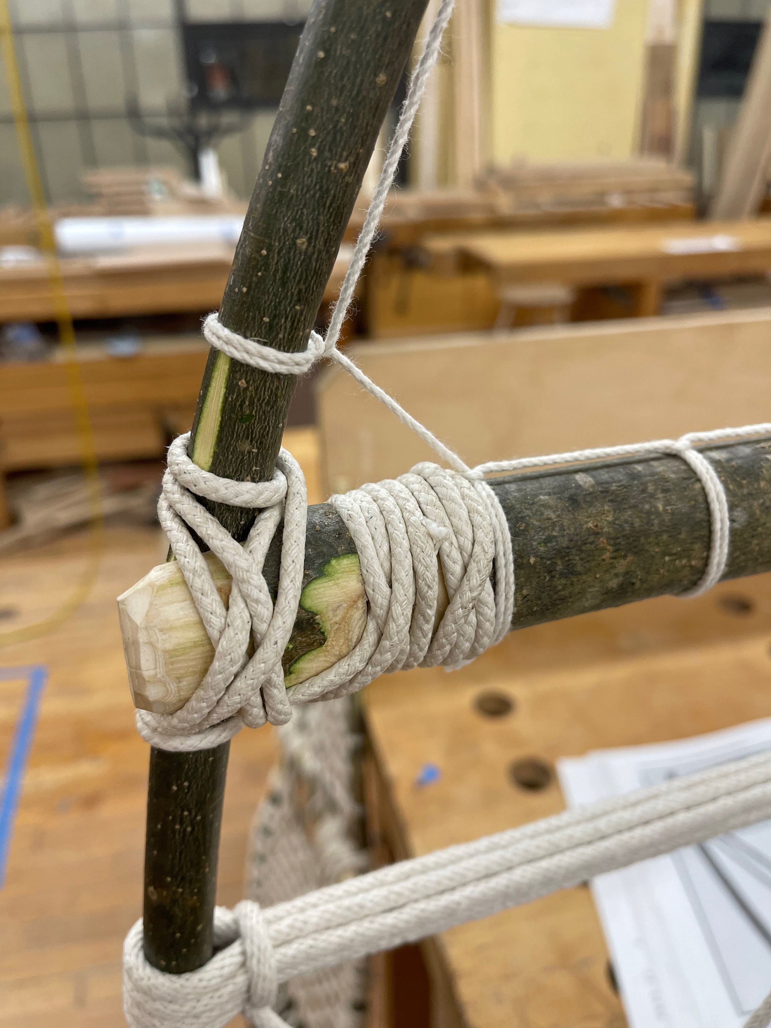
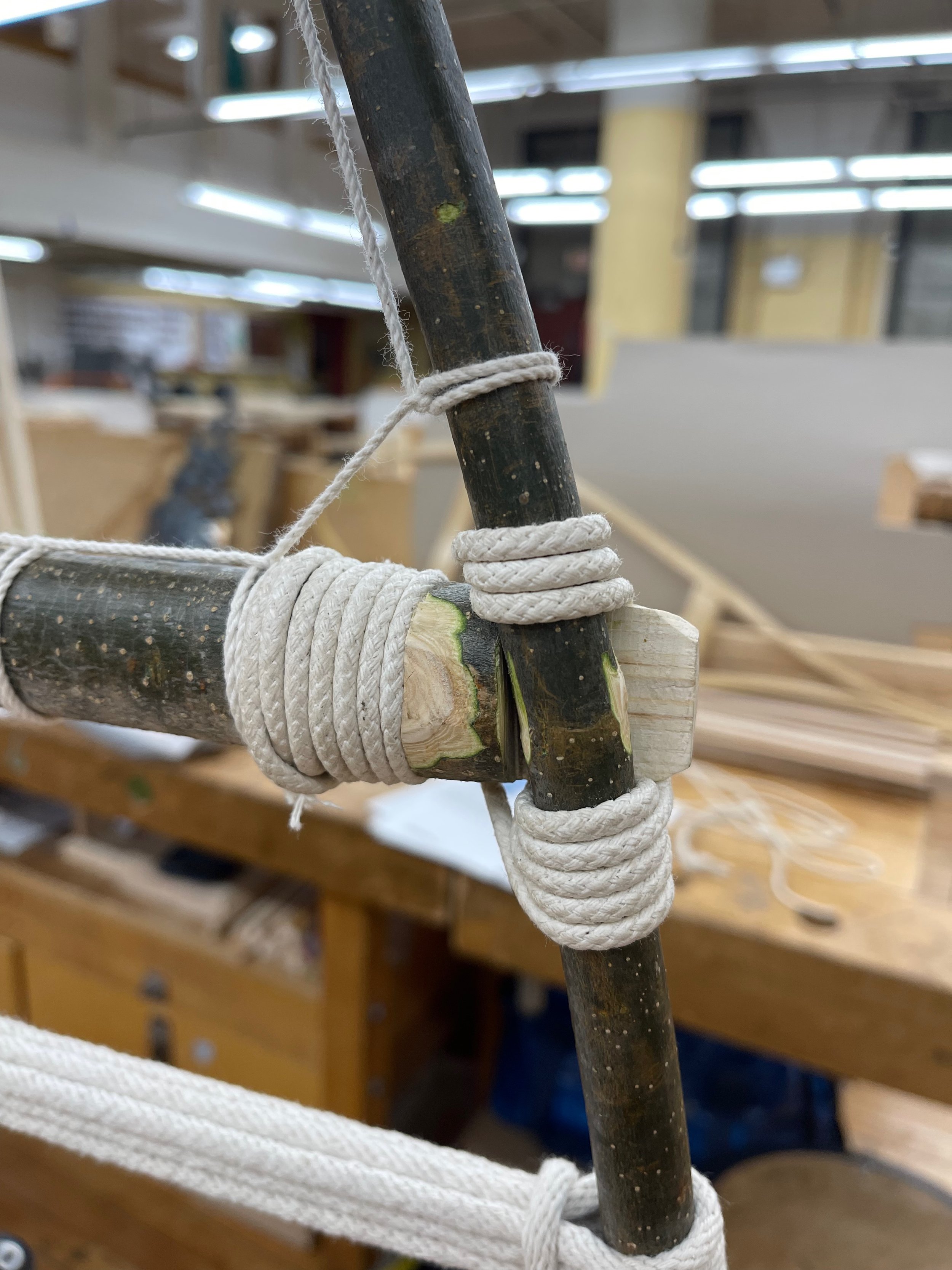
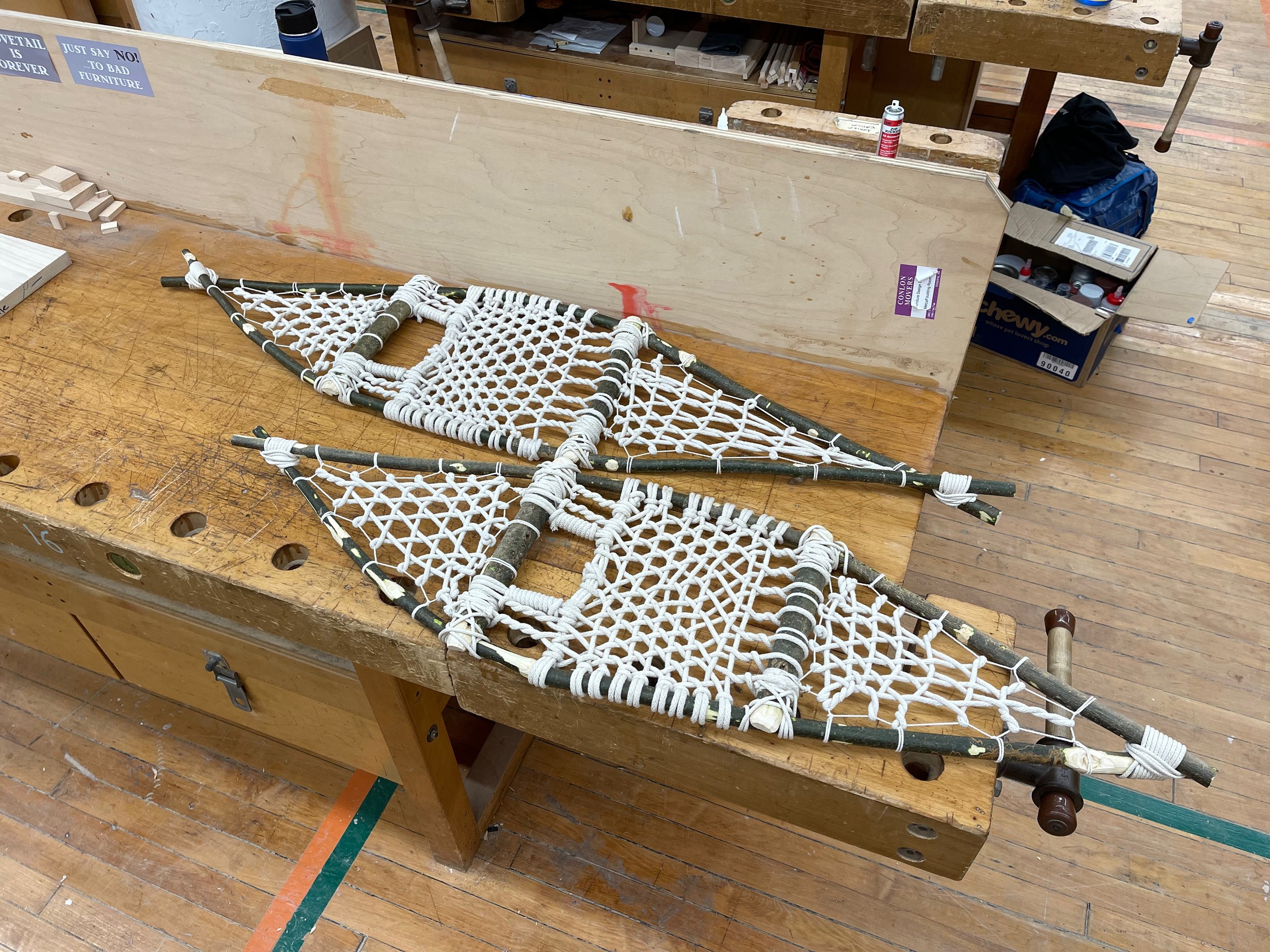
The map you see before you is a set of Ojibwe (Native people originally in the Southeastern Canada/Ontario area) style snowshoes constructed from Ash saplings collected from the Marsh-Billings-Rockefeller National Historical Park. The saplings were cut down to preserve a historic stand of Norway Spruce trees planted by Frederick Billings in 1887. The saplings were processed and lashed together using traditional native construction methods to build the frames. They were then laced using a European method well suited for the typical snow conditions in the Vermont Piedmont winter landscape that has been adapted over time once colonists adopted snowshoe technology. The two red outlines on the toe of the right snowshoe represent areas E1 and E2 in Northeastern Vermont, as demarcated by the Vermont Fish and Wildlife Department along the Canadian and New Hampshire borders. These areas are two state wildlife management units where the moose density is consistently higher than other areas of the state since 2019 and that are in close proximity to the headwaters of the Connecticut River. Then moving southward the Connecticut River can be seen in blue passing by a tributary, the Ottauquechee River, on the sole of the left snowshoe. Lastly, A small green sprig locates the approximate area where the material used to build this map was harvested. All in all depicting a small portion of the wintering grounds of the Wabenaki people in the Connecticut River watershed from building material to an upland area known to be densely populated with moose.
